Time: September 8, 2016
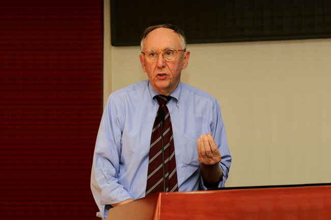
Lecturer: Jack Dangermond (Co-founder and CEO, Environmental Systems Research Institute)
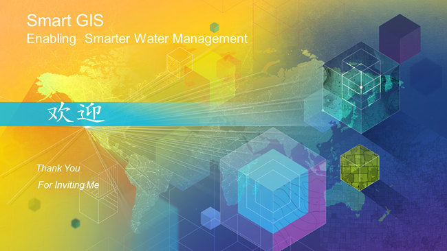
Report: Smart GIS enabling smarter water management
Contents:
- Our world is evolving (massive digital transformation)
- GIS and mapping becoming essential
- Our world increasingly challenged
- GIS provides framework and process for enabling a smarter world
- GIS for environmentla monitoring and assessment
- GIS for planning and managing natural resources
- GIS for preparing for and responding to disasters
- Case study: NOAA, New Jersey Transit Authority
- GIS becoming an enterprise platform
- Web GIS
- GIS getting smarter (integrating and leveraging innovations)
- Smart GIS integrates real-time data, image processing, advanced analytics, smart mapping and visualization, advanced spatial analysis, big data
- Case study: CAL OES, Landsat Look
- Smart GIS applications
- Smart GIS integrates everything and connects everyone
- Smart GIS revolutionizing how we plan and design
- Smart GIS engaging communities, enabling new collaboration


