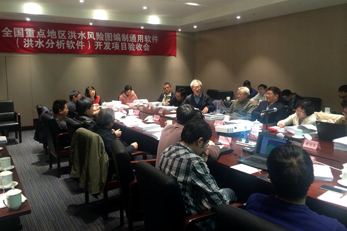
To support the flood risk mapping project in key areas of China, IWHR took the lead to develop the common software for flood risk mapping. A series of computing tools have been developed including one-dimensional river network calculation engine, quick unstructured grid generation modules, independently developed GIS platform, and has completed the integration of processing and post-processing and development of one-dimensional and two-dimensional flood models and city pipe network models, therefore realizing the coupling of one-dimensional and two-dimensional models as well as that of city pipe network and two-dimensional models. Two software products have been developed and applied nation-wide, namely IFMS (Integrated (IWHR) Flood Modeling System (1D+2D)) and IFMSUrban (Integrated (IWHR) Urban Flood Modeling System (2D+SWMM)), providing technical support to the flood risk control for small and middle-sized rivers, flood protection areas, flood storage and detension areas, as well as urban flood risk analysis, and have got positive response from users. The software development project integrates the most advanced technical strengths to research and develop the flood analysis software with domestic proprietary intellectual property right, from which point is of great significance.


